I have been experimenting with creating time lapse video from stills and have popped a couple of them on YouTube. The first one was back in late October where I was trying to get a nice sunrise but where I initially wanted to shoot from was covered by low cloud so I had to find somewhere else. By the time I got to this place I had missed quite a bit of the sunrise but managed to capture about 500 shots to make this first video.
It was a bit of a learning experience and this is what I figured out.
1. Take the photos in jpeg instead of raw because they take about a quarter the size and don't fill my memory cards as quickly. They also are less power hungry on the computer when processing them.
2. This clip took about 45 minutes to take so have something else to do while your waiting. I'll take my other camera next time and maybe my iPod so I can listen to some music or a podcast.
3. Reduce the time between shots so there are more stills available to create the video.
4. Keep warm, it can get pretty chilly if you are standing about in the early morning or evening.
Since the first experiment I've not had the opportunity and suitable weather conditions at the same time to do more time lapsing until last weekend. So Saturday morning I planned to get up early but unfortunately my bed was warm and comfortable so it wasn't that early when I set off. As before I was a bit late getting into position and then the sky was too clear with a band of low cloud just on the horizon where the sun was coming up. So my first set of shots where of a piece of clear orange sky with the smallest bit of cloud drifting across.
I was at Scout Dyke reservoir again and the water level was lower than I've ever seen it. For the first shots I was well down towards the water to try and get some reflections from the water but that didn't seem to help. I tried a different angle and position as the wind was picking up and bringing some more clouds over into the scene. But they weren't coming over fast enough and they were just grey blobs when they arrived so not very interesting. It was all very muddy in the reservoir bottom and where the mud dried up a bit it had cracked and made some patterns on the ground which may add interest to the shots.
In the meantime I was wandering around with my other camera looking for a few still photos to take and I noticed the start of some pinkness in the clouds in the other side of the sky to where the sun was rising. I spun the camera around 180 degrees for my next attempt and captured the clouds clip below. It was very windy and even on my tripod the camera was getting blown about which is why it was so shaky. Also I was wandering about taking other shots and I had the radio trigger in my pocket and I think I must have gone out of range a bit because there seems to be some missing frames occasionally.
As the above clip was being captured I noticed that the clouds in the sky in the other direction were starting to come over more and getting some colours in them. I swung the camera around again on the tripod to continue filming towards the sun. I took a couple of steps away and then the tragedy happened. Over went tripod with the wind and the camera landed lens front down in the thick mud. Here's the shot just before it went over ...
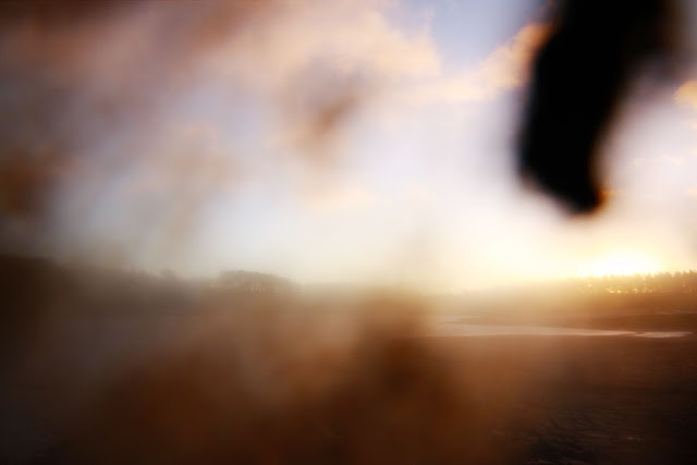
... and this was the first shot after I picked it up again. The remote trigger was still firing away even when it was face down in the mud but those picture were a bit dark.
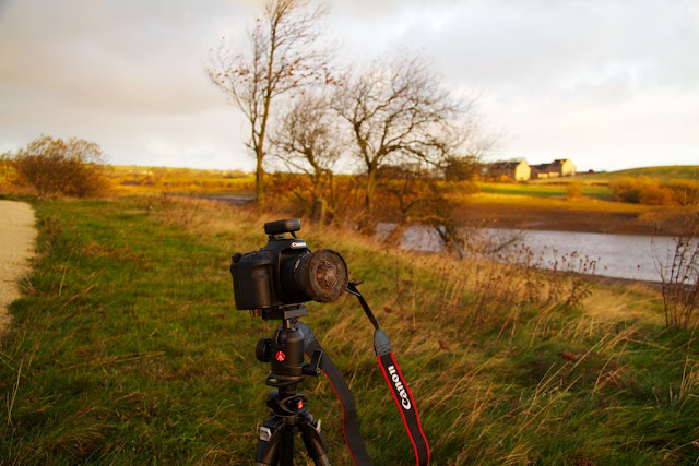
I decided it was time to go home so I dragged my stuff up onto the bank and here's a shot of the camera still on the tripod ,with a dirty, dirty lens.
When I got home I took the lens off the camera for one last shot before I got to work getting it clean (it took quite a while).
So it was only a minor tragedy and the clip is OK, not good. What did I learn this time.
1. If it's too windy the time lapse is going to be shaky unless you can really tie the camera down. I have a reasonable tripod, and it was very low but I still had issues. I wonder maybe I should have removed the neck strap because that was getting blown about quite a lot and was probably contributing to the movement.
2. Especially if it is windy, make sure the tripod is secure. Maybe I should have tied a rock to it or opened the legs wider so it had a more sturdy base.
3. Don't keep changing position because if I had left it in the original position the clouds would have come over eventually and my lens wouldn't have been covered in mud. Also I noticed as I was leaving that ground which was in the frame on the clouds movie started to get lit up by the orange light of the sun, so continuing that clip may have had some added interest later.
4. If wandering around taking other pictures while the time lapse is running it is probably a good idea to leave the remote trigger near the camera to prevent missing frames.
I'm looking forward to my next attempt, hopefully I will have more success.
This is a blog where I show images of things I see as I wander about, mainly in the Holme Valley at the edge of the Pennines in West Yorkshire. I'm fairly new to photography even though I'm not that young and I'm very enthusiastic about improving my skills. I like to process my photos to make them look as good as I am able. I love to share my images and some day I would like to start selling them as prints and framed and share with more people.
Wednesday, 7 December 2011
Friday, 2 December 2011
Fairburn and Ledsham
We've not been anywhere this week so I looked back through some of the folders from the last couple of months that I haven't posted. It was yet another of the AA Walks in West Yorkshire and it was another sunny, almost cloudless day. We started the walk in the village of Fairburn which is East of Leeds just North of where the A1 crosses the M62. From the village we went down a path into the Royal Society for the Protection of Birds (RSPB) sanctuary called Fairburn Ings. I think I may have posted about this place before a couple of years ago. Its on the site of an old coal mine and is made up of regenerated slag heaps and water filled areas.
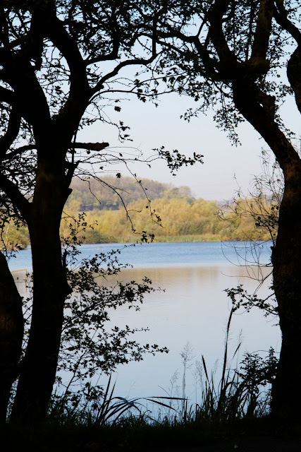
As we walked into the sanctuary I took this photo of the main lake through some trees on the banking. It was supposed to be a bit arty with the silhouetted trees making a frame for the water and trees behind.
There are a number of hides around the lake where you can sit and watch the bird out on the water. Unfortunately the first hide looking out onto the smaller lake had been closed because someone had tried to burn it down. This next photo is of the swans, cormorants, ducks and seagulls out on the islands in the middle of the lake. There is quite a selection of different kinds of ducks out on the lake including shelducks, pochards and tufted ducks.
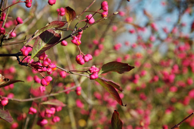
A bit further around the path was some bushes with what at first looked like pink berries. On closer inspection they were more like flowers with orange berries inside. I took a few photos of the whole bush but prefer this close up of one of the twigs.
Continuing along the path you end up at the RSPB office and shop where there's toilets and a cafe. Opposite the building is a small area with lots of bird feeders full of all sorts of different food. This particular one appeared to be the favourite for the Gold Finches as they kept swooping in and out from the surrounding trees.
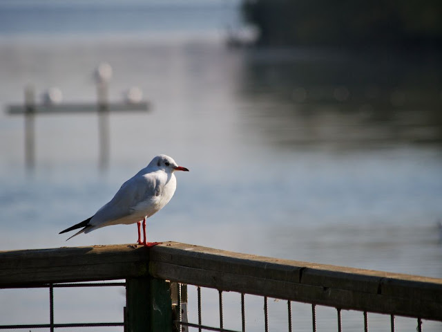
We walked through the car park onto a walkway to the big lake and there was a seagull perched on the fence. I managed to get fairly close before it flew off. In the picture there are some more gulls sat on a wooden perch out in the water.
We left the bird sanctuary and headed North on a path towards Ledsham. This next picture is looking back towards the lake with the cooling towers of Ferrybridge power station in the background. I guess in the past the power station would have taken all of the coal from the mines in this area.
When we reached Ledsham we went to a pub called the Chequers Inn where we had a lovely lunch and a bottle of wine in their beer garden. I'm glad we came for the walk on Saturday because the pub is closed on a Sunday and we'd have been very disappointed. The story of why it's closed on Sundays is on thier website, linked above.
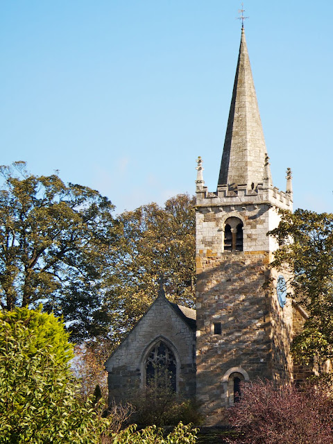
There were lots of lovely buildings in the village including this ancient church which has a history going back into the 6th century (yes 6th), making it one of the oldest churches in England.
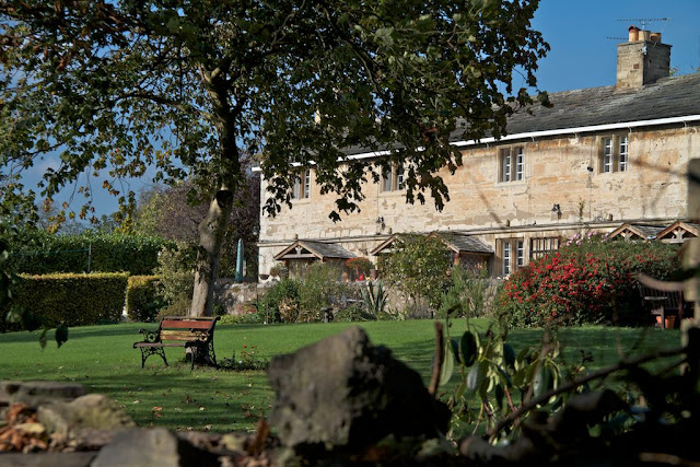
Behind the church was a row of lovely old cottages with this beautiful lawned area at the front.
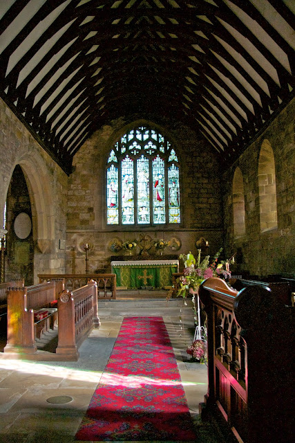
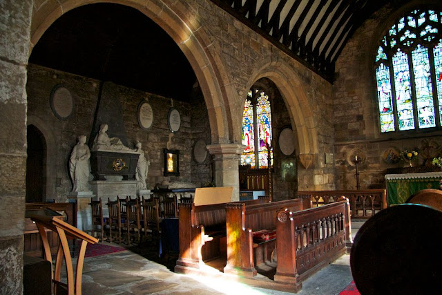
It was very dark inside the church so it was quite difficult to get these next two pictures. The first is of the main aisle in the oldest part of the church.
The next picture is looking through into what was a second aisle which was built much later and used to double the size of the church. The church has had many changes over the centuries including several different tower designs. In the first picture of the church you can see where they have used a completely different type of stone when they added a steeple to the existing tower. In the picture below they have removed the back wall of the church and put in these big arches to open up the two aisles to each other.
After leaving Ledsham I took this photo looking to the rolling hills to the North. I particularly like the shadow of the trees behind me stretching across the newly mown field.
I quite like this photo of the trees but it is slightly spoilt by the electricity pylon in the background. I guess being so close to a big power station it's quite hard not to get the pylons or electric lines somewhere in your view.
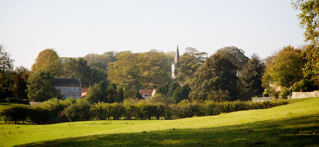
This photo is looking back towards Ledsham with the church and some of the big houses visible within the trees.
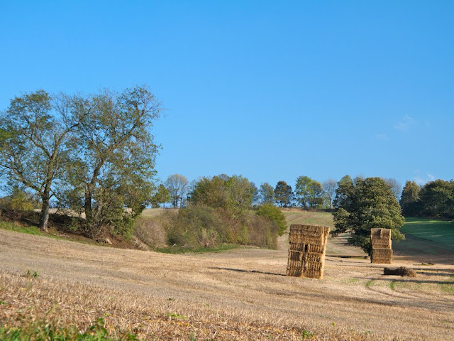
A little further along was this field with the haystacks. It's hard to see in the picture but this field had quite a slope in two directions. Th front haystack looked as though it was ready to fall over.
We were almost back in Fairburn now and this picture is another grand looking tree in a field. Again unfortunately spoilt by the power lines going across the sky in the background. I did consider removing them and I might yet.
Well it had been a beautiful day for the middle of October, but as we've had even more beautiful days since it doesn't feel that special now. We're in December now and it has been the warmest Autumn for a few years. Of course now there are suggestions that we might be heading for a drought but I'm sure we're going to get plenty of wet weather in the next few months so I don't take that too seriously. It's raining quite hard now as I type this so it doesn't look as if I'll get out much tomorrow for a walk.
Thursday, 24 November 2011
Marsden Moor
Last Saturday was a beautiful day when we went for our "Marsden Moorland Ramble", which was another card from our "AA 30 Walks in West Yorkshire" series. My wife wanted to go on a slightly longer walk than the usual 5 or 6 miles but didn't want to go too far from home. Our starting point in Marsden is about 8 or 9 miles away going through Holmfirth and Meltham. We arrived at the station car park at about half past nine and headed up the canal tow path towards Tunnel End.
At Tunnel End both the canal and the railway line disappear under the Pennines and reappear at Diggle in Lancashire. The canal has been closed for a long time but the railway line is still the main connection between the Cities on Leeds and Manchester. This first photo is looking at the entrance to the canal tunnel and the cottages next to it.
From here we walked past the Tunnel End Visitors Centre, then up past the Tunnel End Inn (which apparently is closed) and then along a path at the edge of the old reservoir which supplies water to the canal. The trees have nearly lost of of their leaves but this old tree still had a few beautifully coloured leaves which were lit up in the morning sun.
At the end of the path we joined back onto Waters Road and and past the Hey Green Hotel. From here we went down another path beside the river to the Eastergate Bridge where I took some photos but we were in the shade of the valley and I didn't think they were worth posting. There's also a strange sculpture here and some information about the pack horse trail that we were about to follow. Along the trail are a series of stone marker posts and this photo shows one next to the path we were walking along. In the background is a round topped hill which the details on the card said we would be walking to the left side of later.
The path was quite flat here and then we dropped into a little valley with a stream before climbing up towards the round topped hill. In this next photo is Lynne crossing the stream with Evey the dog watching me take the photo. Up the path is another marker post for the pack horse trail.
This next photo is from part way up the round topped hill looking back down the path and yet another marker post. At the other side of the hill we head down towards the Buckstones Road and just before the car park we join the Pennine Way and then started heading South towards Standedge
As with the Stanage near Sheffield that I blogged about back in April 2010 the name Standedge is derived from stone edge and the next photo has some of the stones on the edge. In the background we're looking towards the little village of Denshaw on the far left with the Castleshaw Upper and Lower reservoirs nearer the centre. The stones here are nowhere as impressive as Stanage but there were some people climbing them with ropes further along.
As we approached the Huddersfield to Manchester road near to Brun Clough Reservoir there was this wooden signpost for the Pennine way. The sign point back in the direction from where we had come was missing. On the right was Evey watching me again and wondering why it was taking me so long to get along the path.
We crossed the road and headed down the path going past Redbrook Reservoir and then on to Old Mount Road towards Hades Farm. This next photo is looking across the golf course towards another part of the Marsden Moor Estate and Butterley Resevoir. Further up that valley is Wessenden where I have blogged about several times and walked around even more times.
Further along Old Mount Road I took this photo of the West end of Marsden with the big old woollen mills and the little millworkers houses.
After this we dropped back down onto Mount Road into Marsden town centre and then back to the car park. The walk was about eight miles and we took a little over four hours to complete it, including stops for refreshments and taking photos. Which wasn't back considering that some of the pathways were pretty hard going underfoot. It was a very good ramble and just what we needed to get away from the stresses of everyday life.
Monday, 21 November 2011
Dirty Dog
We were out walking on Marsden Moor on Saturday and it was a beautiful day for late November. I will post some pictures of the landscape later but I couldn't resist posting these photos of Evey getting herself covered in mud.
1. Charging into the muddy puddle
2. Head down making first contact with the mire
3. The big splashdown
4. Emerging from the blackness
5. Taking to the air
6. Mud dripping from her mouth
It looked like great fun but I don't think I'd like the mouth full of black muddy water. Evey didn't seem bothered and fortunately over the rest of the walk the mud dried and most of it dropped off. We delivered the dog back to my daughter Emma and mentioned that she might need a bit of a wash down.
Tuesday, 15 November 2011
I'm Still Here
It's been over two months since my last post and I think it's about time I got back into it. I've had an early bout of winter blues and there's little sign of getting past it yet even though we're only in mid autumn. I feel my photography has seriously got stuck in a rut and although I've taken lots of pictures I'm not getting the urge to share them at the moment. So this is taking a lot of effort, but I'm determined to push through before I lose the will to make pictures any more.
It's been quite mix of weather the last couple of weeks but last Saturday we had a bit of early sunshine. So while my wife was having her hair done I wandered into Victoria Park in Holmfirth with my camera to look for inspiration. The sun was quite low and sky was blue and I thought I might find some trees with their leaves a nice autumn yellow to make a great contrast to the sky. It's a great combination of colours, yellow, green and blue. But I just couldn't find a shot.
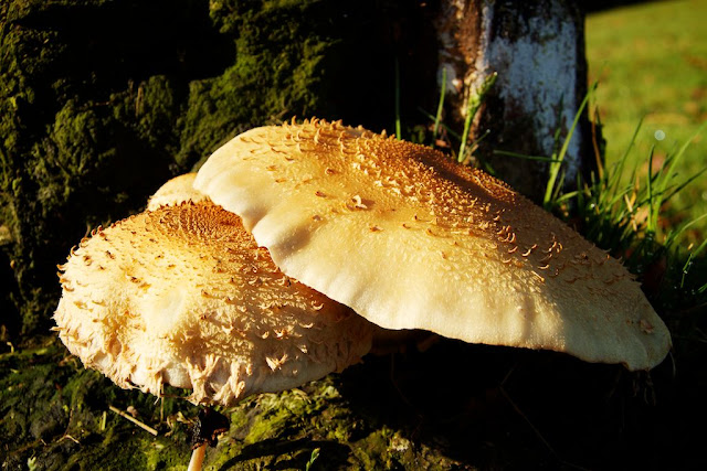
As I walked about I spotted some mushrooms growing at the bottom of an old tree stump so I went to have a closer look. The tree stump was very dark with it being in its own shadow and the mushrooms were out in the sunshine and very bright. I decided to make three exposures of each shot at different shutter speeds so I could merge them to makes tone mapped HDRs with details in the shadows. I took quite a few shots at different angles and heights to make different compositions of the mushrooms and in the end I chose this ones as the best. In the end I didn't merge the exposures because I decided I didn't want the detail in the shadow to detract from the detail in the mushrooms. When I look at the picture now I feel I need to get rid of the grass in the background on the right because it's drawing my eye away from the main subject. Its too light so maybe I can darken and desaturate it, or perhaps clone in some more tree stump.
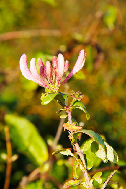
After the mushroom I started heading out of the park and there is a small public garden with a bench and some shrubs in the borders. I spotted some very late blooming honeysuckle and went to have a look. Although the weather has been mixed it has been quite mild for the time of year so there are a few late blooms around. I quite like this picture but again I wonder if I should darken the background a bit more to emphasise the flower. Maybe add a bit more of a vignette to darken the corners might work.
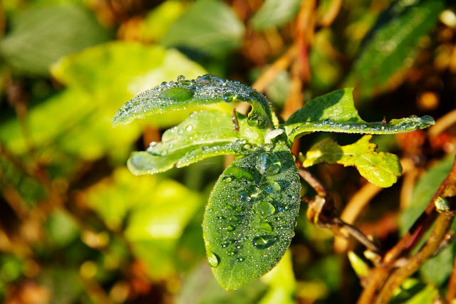
Next to the honeysuckle was an unknown (to me) bush with some furry leaves which had lots of water droplets from the overnight rain. Some of the leaves were in the sunshine and I spent the rest of my time trying to get some interesting pictures of them. This was my first attempt but it doesn't work too well with the angle of the shot and the busy background. I need to seriously get rid of the contrast in the background by darkening and desaturating it all because the foreground subject is completely lost.
This next ones a bit better with having the wall in the background, but the bits of honeysuckle stem are a bit distracting. I lowered the angle of the shot to try and look through the big water droplet and this works a bit I think.
Same leaf but from the side of the leaf this time and lower again. Now I'm getting the shot right through the big water droplet and I quite like the effect of the light bending through it. Maybe again I just need to get rid of the light circle near the top left because it's distracting but overall I pleased with this picture.
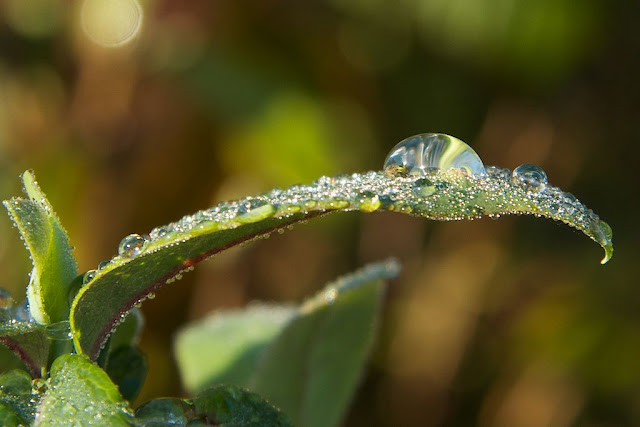
Same leaf again and back to the same direction as the first one but lower and closer. There is very little depth of field and I've used the exposure two stops below the metered exposure which is why it is so dark. I chose this exposure because the background has almost completely gone and the only part of the picture in sharp focus is the big droplet. I noticed a variety of colours in the little droplets so I boosted the overall saturation sky high and then desaturated the green so that the leaves look a fairly normal colour. I love this picture, even the very light blurred spot in the foreground because it is on a bit of a diagonal line through the composition. It looks even better full size on my computer screen with the weird shapes in the big water droplet and all the little coloured circles of bokeh from the little ones.
Thanks for looking at this post. I really hope you like something here. Writing this has been a bit of therapy for me and maybe I can get back into the swing again. No promises but I'll try to get back to posting weekly. Please give me some feedback in the comments if you have a bit more time to spare me.
Thursday, 8 September 2011
Buxton High Peak HACK
The day of the HACK had arrived and it was an early start for us. We had to get up before 4am to get ourselves ready and drive to Buxton in time for me to start my duties as soon after 6am as possible. My first duty was on the 3rd marshalling point which was about a mile and a half into the walk so people setting off at 6am could be there before 6:30 and I needed to register, pick up my high visibility jacket and drive to the marshalling point before anyone reached it. When we arrived at Grin Low Cottages I was told that I had been changed to marshalling point 2 which was a few hundred yards before point 3 so that was fine, I knew where the early marshalling points were because we'd done this part of the walk back in August. I took Lynne around to the walkers registration point in the car park and then went to pick up my jacket, new instructions for the marshalling and my partner volunteer for this first stint, a young man called Guy.
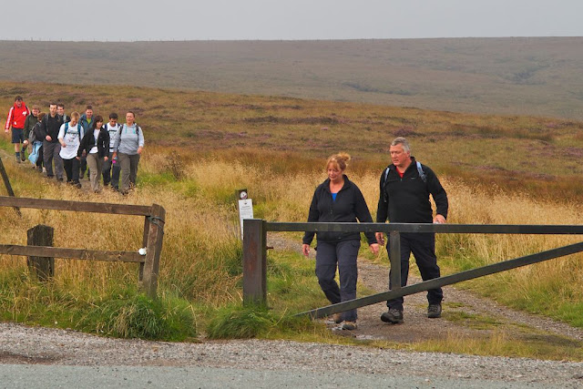
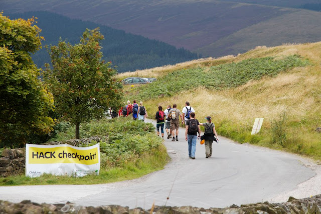
The weather was set to be quite good for the walk, dry and not too warm with a possibility of showers later in the afternoon. When we arrived at the marshalling point it was looking as though we could could have some early rain with big black clouds out to the West, but it never materialised. The early starters began to appear over the brow of the hill just around 6:30 as expected and there was a fairly steady stream until just before 8am. The last registrations were at 7am so we knew we wouldn't be here very long. This first photo is some of the walkers heading up the short stretch on the roadside between marshalling points 2 and 3. Part of our duties was to advise the walkers to stay on the left side of the road and try to keep off of the road. The edge of the grass had been trimmed a bit since we'd been here in August so it was possible to walk off of the road in single file. The sun was shining where we were stood but the clouds up on the hill still looked a bit threatening.
After we had been instructed to stand down by the sweepers I had quite a long gap between my next official duties at Checkpoint 3 at 13:00 so I took Guy back to the control at Grin Low Cottages and then headed to Checkpoint 1. I had told Lynne that I would try to track her progress around the course and walk with her when I could. Checkpoint 1 was at the Cat and Fiddle pub, which is the second highest inn in England and was almost 6 miles into the walk. In this next photo some of the walkers are arriving at the end of the path to cross the road to the checkpoint.
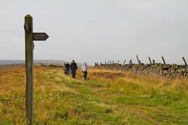
I walked back along the path and found Lynne a few hundred yards from the road and she'd found herself a walking partner called Paul. He was a Geordie who was currently living in the East of England. I walked with them to the pub where they registered and picked up some nice energy bars and more water before setting off on the next leg of the walk. I walked with them as far as Shining Tor which was one of the highest points on the walk where there was a lot of low cloud obscuring the view, which was a pity because views are stunning on a clear day (see my previous blog from the 12 August). I left them to continue towards Cat Tor and Pyms Chair while I headed back to Checkpoint 1 to pick up my car. I told Lynne that I would probably see her next at Checkpoint 2 which was just over half way around the walk. In this next photo are a couple of walkers just arriving at Shining Tor after climbing up the long a fairly steep hill.
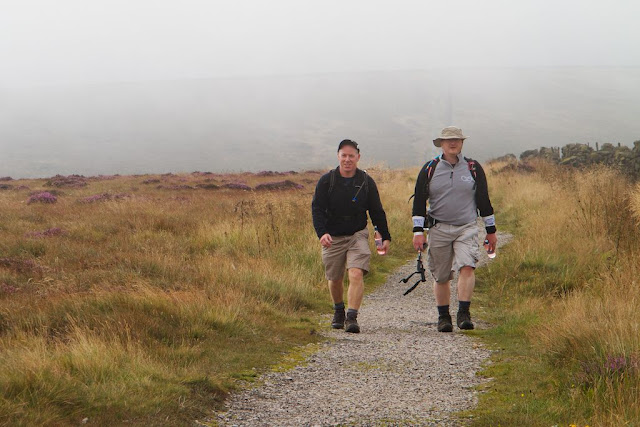
Lynne was still with the early walkers so as I headed back down the hill there were many of the walkers on there way up. Quite a few of them recognised me from marshalling point 2 and were surprised to see me walking towards them. Many of them remarked that I had a twin brother and one person asked me if I'd been helicoptered onto the top of the hill. In the next photo it was a bit dull with the low cloud but everyone still seemed quite happy.
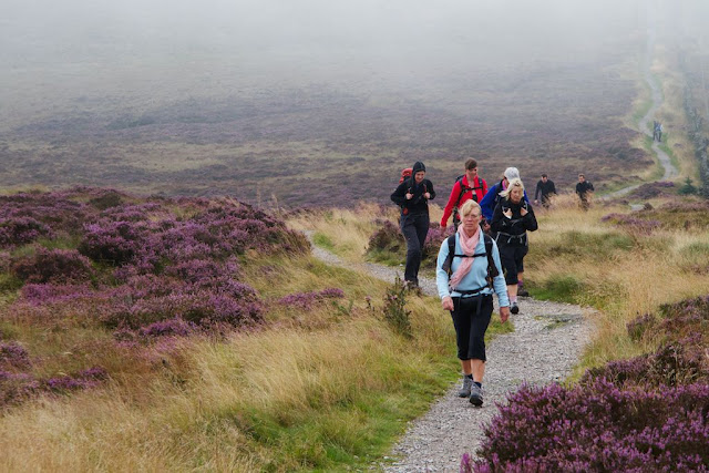
As I continued down the hill the mist cleared a little but as you can see from this photo the visibility was still only a few hundred yards.
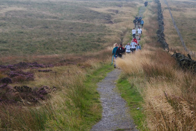
As I past by the bottom of the dip before the climb up to Shining Tor a couple of the walkers told me that some people had gone the wrong way at the gate which they needed to come through and had gone straight ahead instead. I rushed back to the gate and on the way someone else told me that one of their party had gone after the ones who'd gone the wrong way to get them back. I met him back at the gate and he said that he thought everyone had been called back so hopefully we hadn't lost anyone. I rang control to let them know what had happened and I stopped at the gate to make sure no-one else went the wrong way. Here's some people in the dip.
I set up an unofficial marshalling point by the signpost and I was amazed that even with me stood there that some people wanted to go straight on. One of the organisers arrived after a while to put up some extra signs and most people had gone through this point by now so I walked back to checkpoint 1 and set off for checkpoint 2. I had rung Lynne to let her know that I was held up but was still hoping to see her at checkpoint 2. Here's the signpost to Shining Tor pointing to the gate. The clouds had lifted a bit and the sun was quite bright and warming.
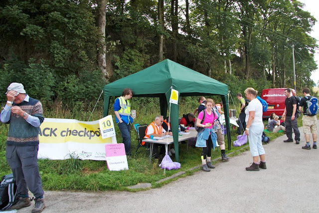
I arrived at checkpoint 2 just a few minutes before Lynne got there. They were making very good time and only a couple of dozen people had set off from the checkpoint so far. Lynne was keen to get on with the walk so after registering picked up more water and energy bars before setting off again. I walked with them for about a mile and then left them to continue onwards. Here's Lynne waiting to register.
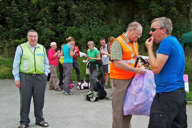
Most people seemed to be taking checkpoint 2 as their lunch break so I after walking back I hung around for a while to take some photos. Here's one of the Raynet men wanting to get in the picture. They perform a vital task to radio back to the control with all numbers of the walkers that go through the checkpoints to make sure no-one goes missing.
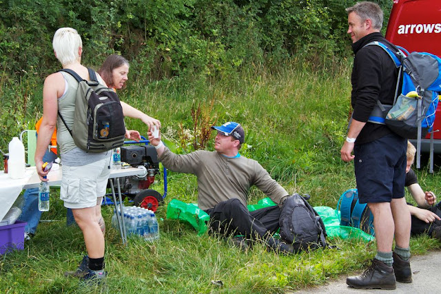
Here's one of the volunteers handing a hot drink down to one of the walkers who is sat having a rest while other walkers look on.
Lots of the people coming through the checkpoint recognised me again from earlier and I hope they were pleased to see me wandering about. One man said he'd been trying to count the number of marshals and said that I was totally throwing out his calculations. Here's a group of walkers stood around having their lunch and there were many more sat on the grass doing the same.
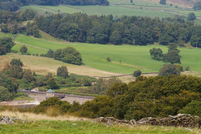
After I left checkpoint 2 I headed for checkpoint 3 and stopped on the way at a viewpoint that was marked on the map. On a full screen view of this next photo you can can see walkers coming out from behind the trees at the top centre of the photo, along the road going right to left in the bottom third and then across the reservoir wall. If you click on the photos they are a bit bigger but not quite full screen. Checkpoint 2 was at this end of the reservoir wall, but we can't see it from here.
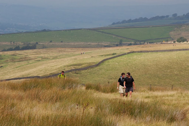
Before checkpoint 3 there is a fairly steep hill up through the field which Lynne and I found very hard going when we walked it in August. In the next photo there are some people just reaching the top and looking a bit red in the face. In the middle of the photo there are some other walkers heading down into the valley which is at the bottom of this hill. We decided that it must take about 40 minutes to get from the marshalling point on the road (which is the line about two thirds up this photo) to where we were standing near the checkpoint. We were trying to encourage people by telling them they were at the checkpoint ant there was only four miles to go. Many people asked about what the rest of the course was like so I was able to tell them what was in store. It's by far the easiest part of the course as the first bit is flat on an old railway line then a small rise, a steep hill down and then flat again until the woods near the car park where there's a short but steep climb over the brow.
Lots of people recognised me again at the checkpoint and I was very pleased to see how well everyone was doing. I walked a bit of the way down the hill to meet up with Lynne and carry her backpack for a while up to the checkpoint. Again she didn't want to stop for long at the checkpoint because she was afraid she'd seize up and not be able to carry on. Poor Paul was struggling a bit by now but he carried on with her for a bit longer. Here's some of the later walkers leaving checkpoint 3 on the last stretch. As predicted it did start to rain a little at about 4:30pm but checkpoint 3 was getting ready to pack up by then. We were just waiting for the sweepers to come through and let us know everyone was past this point.
Lynne had rung me from the finish and she had completed the course at 3:35 which meant she had a great time of about nine hours twenty five minutes. She'd left Paul a couple of miles out because he kept stopping and she didn't want to stop. In the end Paul came in about twenty minutes after her. She'd had her soup and roll at the final checkpoint and was waiting for me to pick her up and take her home. Apart from her hips and knees aching she said she was feeling OK but starting to get a bit cold. When I got back to the car park she was ready to go so I didn't get any soup. There was also a tent with a band playing but we didn't stop. I just had to check out at the control before I left and return my jacket.
It was a good day and everyone I spoke to commented about how well it had been organised and how friendly everyone had been. Lynne says she's looking forward to walking again next year and I will be volunteering to marshal. It will be the same walk next year and I might see some of the same people with any luck. As in my previous post, if you want to contribute to the NSPCC for the Hike Against Cruelty to Kids there is a green Donate button at the top of their page, Thanks.
Subscribe to:
Posts (Atom)
The Poppy Wave at Yorkshire Sculpture Park
A few days after the Poppy wave was unveiled at the Yorkshire Sculpture Park in September I managed to get out and take a few photographs in...

-
After leaving Mount Gabriel we drove to Kinsale, which was quite a long drive. We had lunch and then went to find Charles Fort which is jus...
-
Last week I managed to get out in the morning for a walk before it rained again. I had dropped my wife off at work and had a couple of erra...
-
A few days after the Poppy wave was unveiled at the Yorkshire Sculpture Park in September I managed to get out and take a few photographs in...

